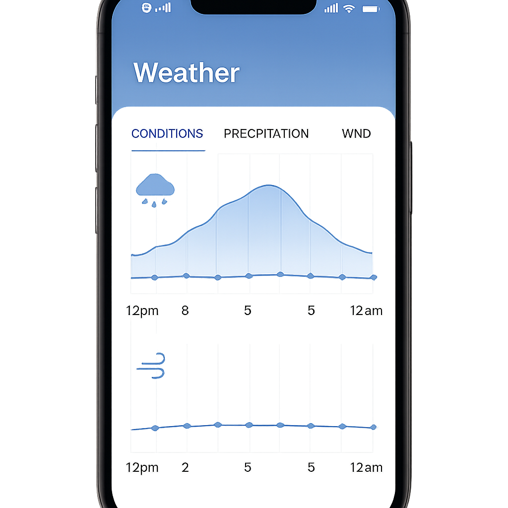
With the roll-out of iOS 27, Apple is sharpening its Weather app by making rain and wind forecasts far easier to access. What used to require navigating through deeper layers is now immediately visible on the app’s main screen.
New Forecast Modes on Home Panel
Instead of the old singular forecast display, iOS 27 introduces three distinct views on the Weather app’s home page: Conditions, Precipitation, and Wind. The existing “Conditions” layout remains unchanged. Two new taps—rain and wind icons—let users switch to the Precipitation or Wind view instantly, without leaving the home screen.
What You’ll See in Each Mode
Under the Precipitation view, hourly predictions include rain probability for the coming hours, and you also get a 10-day outlook showing likely rain periods alongside measurements and broadly defined times of day. The Wind view displays gust speeds hour by hour, plus forecasted wind ranges over the next ten days—again without needing to dig through submenus.
These are the only major additions for Weather in this iOS version, but they represent a meaningful shift in how Apple surfaces weather data. Rather than burying rain and wind specifics in separate pages, the app now brings them front and center.
In practice, the changes make tracking storms or windy conditions more intuitive. Both short-term radar users and week-ahead planners will likely appreciate knowing not just whether rain might fall, but when and how strong gusts of wind might get.
Apple’s decision to peel back layers and put weather details like rain chance and wind strength where people already look signals a move toward smarter UX in everyday apps. As weather-related decisions become more relevant—whether for travel, outdoor plans, or safety—having this data accessible at a glance matters. Watch for how Apple refines these tools post-launch, and if additional forecast types (like humidity, UV, or air quality) are next to join the home screen overhaul.