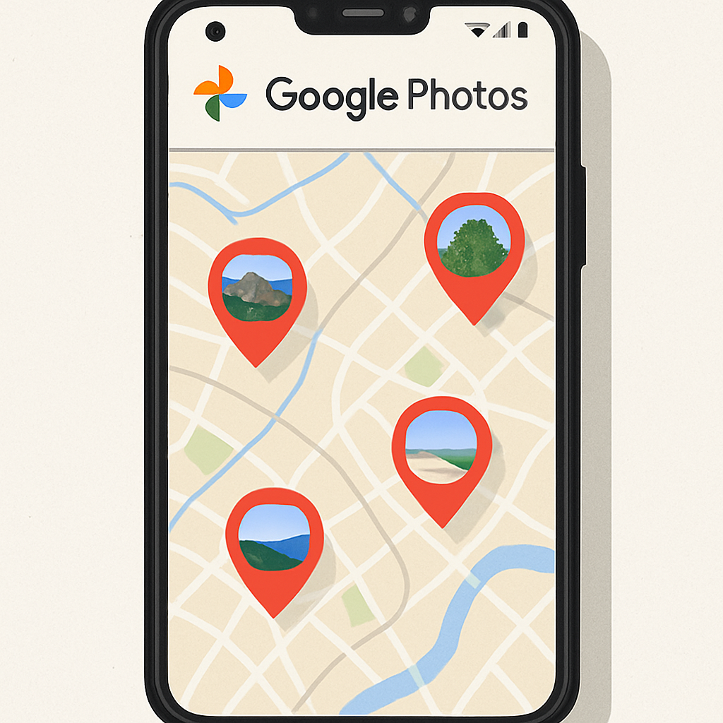
Google Photos is reportedly testing a new feature that integrates a map view into its AI-powered ‘Ask Photos’ search functionality. This development was uncovered through an analysis of an unreleased version of the Google Photos app, suggesting that users may soon be able to visualize their photos geographically within the search interface.
Traditionally, Google Photos has offered a ‘Places’ feature located under the ‘Collections’ tab, where users can view their images on a global heatmap. This existing function allows for the exploration of photos based on location metadata, providing a spatial context to one’s photo library.
The potential enhancement in the ‘Ask Photos’ section aims to bring this geographic visualization directly into the search experience. When users search for a specific location, such as a city or country, the app would display a map with bubbles indicating where photos matching the query were taken. This approach mirrors the functionality seen in other applications, like Snapchat’s Snap Map, which showcases user-generated content based on location.
It’s important to note that this feature is currently in a private build of the app and may not be polished or finalized. Additionally, there is no confirmation on whether this map integration will function when the ‘Ask Photos’ feature is disabled, as Google has recently provided users with the option to revert to the classic search experience.
While the integration of a map view into ‘Ask Photos’ could significantly enhance the user experience by providing a more intuitive way to search and explore photos based on location, it’s uncertain when or if Google will roll out this feature to the public. As with many experimental features, its release will likely depend on further development and user feedback.